

From pixels to procurement: The hard problem in GeoAI has moved
Reflections from our Climate Week Zurich session on what it actually takes to move geospatial intelligence from sustainability dashboards into...
A new perspective on why a decade of supply chain visibility investment has stalled, and what an architectural answer looks like.
The most material risk in commodity sourcing today is the risk that cannot be seen.
A decade of investment in supply chain visibility tools was supposed to change that. In some ways, it has. In one critical way, it has not.
Deloitte’s 2025 Global CPO Survey reports that 65% of procurement leaders still have limited or no visibility beyond their Tier-1 suppliers. The same survey shows that 64% cite better supply chain visibility as one of their top risk mitigation strategies. Two numbers, collected from the same group of senior procurement leaders in the same year, sit side by side on the same page.
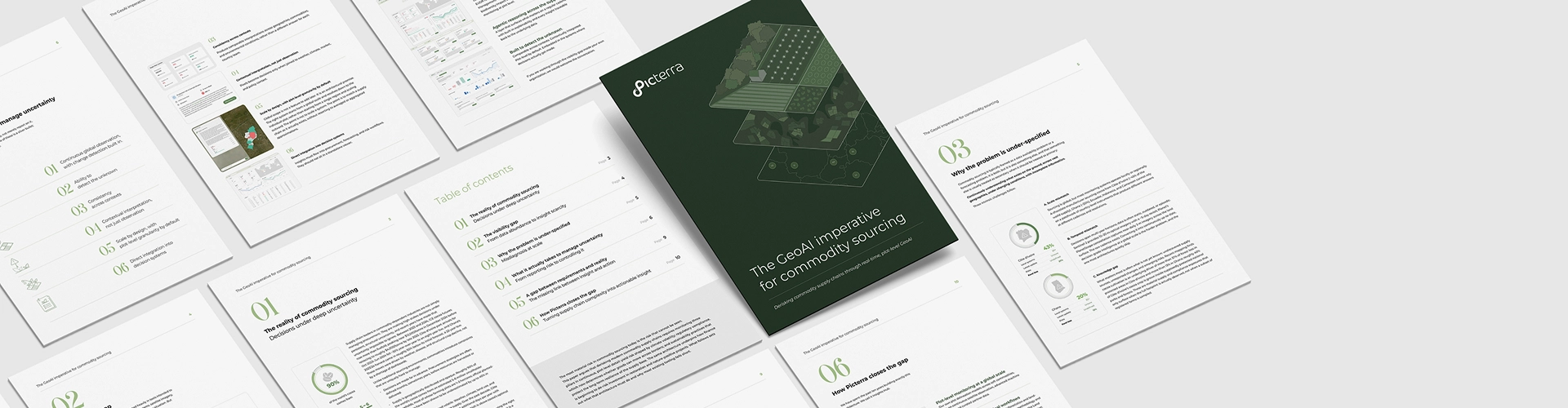
Today, we are publishing The GeoAI Imperative for Commodity Sourcing, a perspective on why this gap persists and what an architectural answer to it actually looks like. The PDF is open and available here or clicking on the image below.
Commodity sourcing is usually framed as a data availability problem or a forecasting problem. The perspective argues it is both, and something else. That something else is the part most tooling in the category quietly skips.
It is the structural problem of continuously understanding what exists on the ground, across vast geographies, under changing conditions, with incomplete information. It is not glamorous. It is not the topic of most vendor pitch decks. But it is, in our view, the reason most supply chain visibility investments have yielded only partial improvements rather than the procurement-grade decisions they were supposed to enable.
From that reframing, the perspective derives six design principles that an architecture must satisfy to close the gap. None of the six is a silver bullet. Most existing tools in the category satisfy two or three of them at a time, which is most of why the gap persists. Satisfying all six is the architectural test.
The perspective also makes a case that may sound counterintuitive: the next leap in commodity supply chain visibility is not about more satellites, more data, or more sophisticated models. The raw data has largely arrived. What remains is the harder work of converting it into continuously up-to-date, decision-grade intelligence at the right level of resolution and integrating it into the systems where procurement decisions are actually made.
Derisking modern commodity supply chains, the perspective argues, requires monitoring three pillars in continuous, plot-level detail.
The Côte d'Ivoire's 30% drop in port arrivals, the Ghana harvest at a 22-year low, and cocoa futures that ran from $2,000 to $12,000 per tonne and back were driven by weather, disease, and structural crop decline. None of these was fundamentally invisible. They were unobserved.
EUDR, CSRD, and the wider regulatory wave have moved geospatial evidence from a sustainability nice-to-have to a market-access requirement. Plot-level proof of when and where land was used is the new minimum standard for commodity buyers placing goods on the European market.
fundamental question a soft-commodity company needs to answer is whether it will still exist in twenty years. Regenerative practices, traceability, and ecosystem health are no longer optional. They are a license to operate, and they yield measurable financial returns when embedded in the supply base rather than reported retrospectively.
The same underlying architecture serves all three, which is most of why we think the architecture matters.
Procurement leads, sustainability officers, supply chain executives, and the consulting and finance teams that work with them. The vocabulary assumes familiarity with soft-commodity sourcing (cocoa, coffee, palm, rubber, timber), the regulatory landscape (EUDR, CSRD, Scope 3 reporting), and the geospatial intelligence category. It does not assume technical depth in remote sensing or AI.
The structural argument is broader than any single commodity. The examples lean on cocoa, where the data is most accessible and the disruptions of the past two years have produced the most pointed evidence. Readers in coffee, palm, soy, timber, and forest restoration will recognize the same dynamics. Readers in finance and insurance will see how the same architecture underpins emerging approaches to derisking investment in restoration and nature-positive projects.
If, after reading it, the perspective sharpens a question your organization is working through, we would welcome the conversation. The longer version of this conversation is what the perspective is for.
Reflections from our Climate Week Zurich session on what it actually takes to move geospatial intelligence from sustainability dashboards into...
Brazil is heading toward a record coffee harvest. At least, that’s the headline.Brazil’s national supply agency, CONAB, is projecting 66.2...

Lausanne, Switzerland – May 14, 2025 – Picterra, a leading platform for geospatial artificial intelligence (GeoAI), today announced the availability of its solution...

Lausanne, Switzerland – December 3, 2024 – Picterra, a leader in GeoAI, and Planet Labs PBC (NYSE:PL), a leading provider of Earth data, have...